Utah Hybrid Base Map
Last update · May 2024
Category: Base maps Data Type: Imagery web service Steward: UGRC
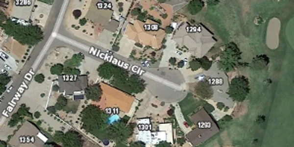
A combination of the general reference base map features and our latest high-resolution imagery as a raster base map. Only roads, municipalities, and county boundaries have a line or outline symbology, all other features like lakes, rivers, land ownership, parks etc are identified with labels. The imagery is the highlight of this base map, all other features are there to show general context.
Use the base map
From Discover
A closer look
Each cache consists of around 3 to 17 million 256-pixel square tiles ranging from 15G to over 200GB.
These raster tiles are pre-rendered at the common zoom scales , opens in a new tab . with a Web Mercator WGS84 projection (wkid/EPSG 3857).
Update history
- May 2024