Utah Lite Base Map
Last update · Apr 2024
Use the base map
From Discover
A closer look
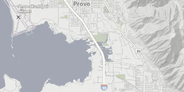
This base map contains roads, highways, and rail as well as county and municipal boundaries with labels. Building footprints and address point house numbers display as you zoom in.
These raster tiles are pre-rendered at the common zoom scales , opens in a new tab . with a Web Mercator WGS84 projection (wkid/EPSG 3857).
Update history
- Apr 2024